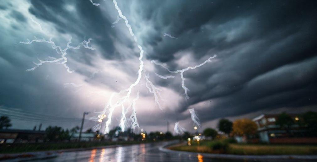
Kerala registered approximately half of its northeast monsoon season rainfall within two weeks during the latter half of October. This rainfall surge was influenced by consecutive weather systems that developed over the Bay of Bengal and the Arabian Sea, notably including the 'Montha' cyclone. Despite the active October, the initial week of November is forecast to have reduced prospects for normal precipitation, attributed to a calmer Bay of Bengal.
Nevertheless, increased weather activity, characterized by the reestablishment of easterly winds over the southern peninsula, is anticipated by the end of November's first week. This shift is linked to a new, albeit weak, weather system expected to form over the Bay of Bengal between November 5-7.
Concurrently, a depression that originated in the Arabian Sea on October 22 continues to move near the Gujarat coast. This system played a significant role in enhancing rainfall along the west coast, including in Kerala, throughout October. It is being observed for its potential to become the Indian Meteorological Department's (IMD) second longest-lived weather system on record, though its interaction with the coastline is expected to lead to its further weakening.
Source: https://www.thehindu.com/news/national/kerala/thunderstorms-to-make-a-comeback-in-november-after-a-rainy-october/article70226101.ece